Categories
News

Design Codes: A Rapid Review from the Delmec Team

As a truly global company, Delmec operates in a variety of territories, countries and continents. That means that our team is experienced in adapting for different governance models so that our services are up-to-date and compliant in every sphere of operation. One such varying standard are design codes, which are essential for ensuring that our clients’ structures meet national regulations.

A Brief History of Design Codes

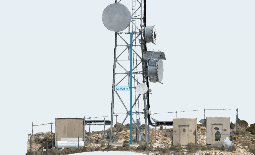
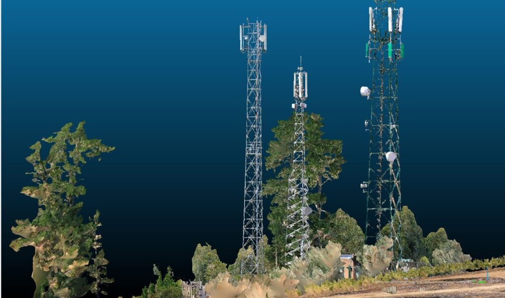
Not every location has an established design code, but if there is one in place, our engineers are obligated to design structures in accordance with the code’s parameters. They’re usually drafted by a governing body and generally represent a best-practice approach to help prevent accident and injury as a result of poor design standards. At Delmec, the three design codes we encounter most regularly are the TIA code, British Standard and Eurocode. For the African market we use the TIA code, for Ireland and the UK the British Standard, and for the rest of Europe, the Eurocode.

It’s generally accepted in the industry that the TIA code is the most easy to use. It was developed by the American Committee over many years and follows a straightforward, logical approach. The British Standard and Eurocode are similar but with more details – and complexity – than the TIA code. The Eurocode in particular is something of a mixed approach, as it includes national annexes through which individual countries specify their own requirements. That means that although Eurocode was developed in the early 2000s to unify building standards for Europe, it is in effect more a set of guidelines than hard-and-fast design rules for constructing towers.

A Sample Comparison of Codes

All three design codes specify varying methods of calculation, as well as approaches to making loading combinations, applying safety factors, etc. Comparing these methods, even briefly, can have revealing results. Of particular interest are the differences in the wind maps and topography categories. In all three codes wind maps are based on alternative parameters, namely:

TIA CodeBritish StandardEurocode
3-sec gustHourly mean10-min average

To demonstrate the differences, we carried out some sample calculations according to Eurocode, with a wind speed of 30m/s. We then adjusted that figure to suit different codes according to wind speed conversions from TIA code:

TIA CodeBritish StandardEurocode
43.1 m/s28.6 m/s30m/s

When the calculations were based on a tower in a flat area, the resulting difference between the codes was 15%. If, for example, a tower is placed on the top of a hill 200m high, the differences in the results are more striking – we’re seeing increases of more than 40% in some members.

More Analysis to Come

This is not unexpected, of course, as we’re dealing with different approaches to determining topography parameters, as well as other metrics. A more detailed comparative analysis would be worthwhile, but this paper demonstrates the value of even the quickest review: from the above calculations we can conclude that Eurocode generates the lowest stresses, with the British Standard in the middle, and the TIA code at the top end, causing the highest stress ratios in members.

For some service providers in our industry, these comparisons aren’t necessary, as they only operate within defined geographical borders. But for Delmec, it’s imperative that we not only have a strong understanding of individual codes, but also how they compare across the board. Many of our towerco clients will task us with designing, maintaining, managing and monitoring infrastructure across multiple territories. They know they can trust us to ensure that their towers and equipment are not just fully optimised, but safe too – for their team, their users and the communities in which they operate. At Delmec, Quality Control and Quality Assurance is not just a service we provide – it’s a way of life.

Categories
News

Drone Data: Supplementing Other Data Capturing Techniques

If we go back 10 or 20 years, site audits were carried out by a two-person rigging crew equipped with a sheet of paper, a pencil, a tape measure, a caliper for measurements, and a camera for photographic recording. In recent years, with the increasing demand for fast data capturing and processing, the use of drones has become one of the main elements of our work at Delmec.

Initially, the scope of drone use was quite simple and limited. The operator would fly the drone around the site and take a series of pictures of the tower, recording information about the geometry of the structure, existing equipment, and the possibility of adding additional antennas, checking the Line of Site, and so on. For new sites, flying a drone allows panoramic photographs to be taken, they could be checked for potential signal obstructions, and the future height of the structure can be determined.

The use of drones has become very helpful in the case of sites that, for various reasons, could not be surveyed in the traditional way by site teams – such as being in areas with difficult access (on floodplains or warfare zones) or in situations where climbing the structure would not be safe due to poor condition. During the pandemic, drones made it possible to reach places where humans could not.

An important element is the use of drones as a supplement tool for data capturing and analysis. In the case of a TSS or Due Diligence audit, the visit is performed by one engineer, while the drone is used as a tool to support and speed up the process. One person performs the work at ground level, while the drone is used to take pictures at height. Reducing the crew to just one person with a drone is a vital factor with limited human resources and increasing labour costs. It also significantly minimises the risk of an accident.

In the office environment, drone usage can improve data processing and enhance portfolio management. Engineers can verify legacy data from the old as-built documents, historical surveys, or a client’s database and compare it with the latest information captured during drone surveys. Having very accurate and up-to-date data allows the site owner to make the best business and investment decisions.

The Future of Drone Usage in the Telecom Industry

The development of information technology, including Artificial Intelligence, has made the use of drones expand significantly. Autonomous drones are being tested on an increasing scale where the flight allows required pictures and videos to be taken independently, without human intervention.

Modern applications using AI allow conversion of the image data into point cloud and create the so-called digital twin – a digital equivalent of a physical site. Specialist software can read the tower geometry, equipment type, or ancillaries such as platforms, feeder lines, ladders, etc., and present detailed information in the digital format. These 3D models can then be viewed and edited in an app, on a laptop, or smartphone, or can be seen in hologram form if we use VR.

Works are well in progress to create algorithms that will analyze the condition of a structure. This will mean issues such as loose or missing bolts, the progress of corrosion on members and bolts, deformation of the structure, or deterioration of the site can be identified.

A tremendous step will be connecting drone apps with the static analysis software so that data captured by the drone can be converted into a structural model, where the tower structure and loading will be automatically generated, and the engineer’s work will be limited to the analysis of this data and checking for correctness. In the next phase of this technology, it is likely this element will also become automated.

Delmec has monitored the growing importance of drone technology over the recent years and we have actively cooperated with the relevant companies in this sector. We are confident that drones will become a key element in the future of the telecom industry, and we will continue to use their benefits to support our clients.